Radar Survey of Grave Sites

Matt Turner of GeoModel shown scanning the cemetery
In the fall of 2018, the local firm, GeoModel, was contracted to use ground penetrating radar (GPR) to survey the cemetery to locate unmarked graves as well as identify areas without graves. This survey was important for finding graves where the original markers were gone because they had been either a simple rock or made of wood. It also was interesting to see that even after one hundred years, the ground offend showed slight depressions where the survey located a grave.
The survey found four missing graves in the white section of the cemetery and 50 in the African American section.
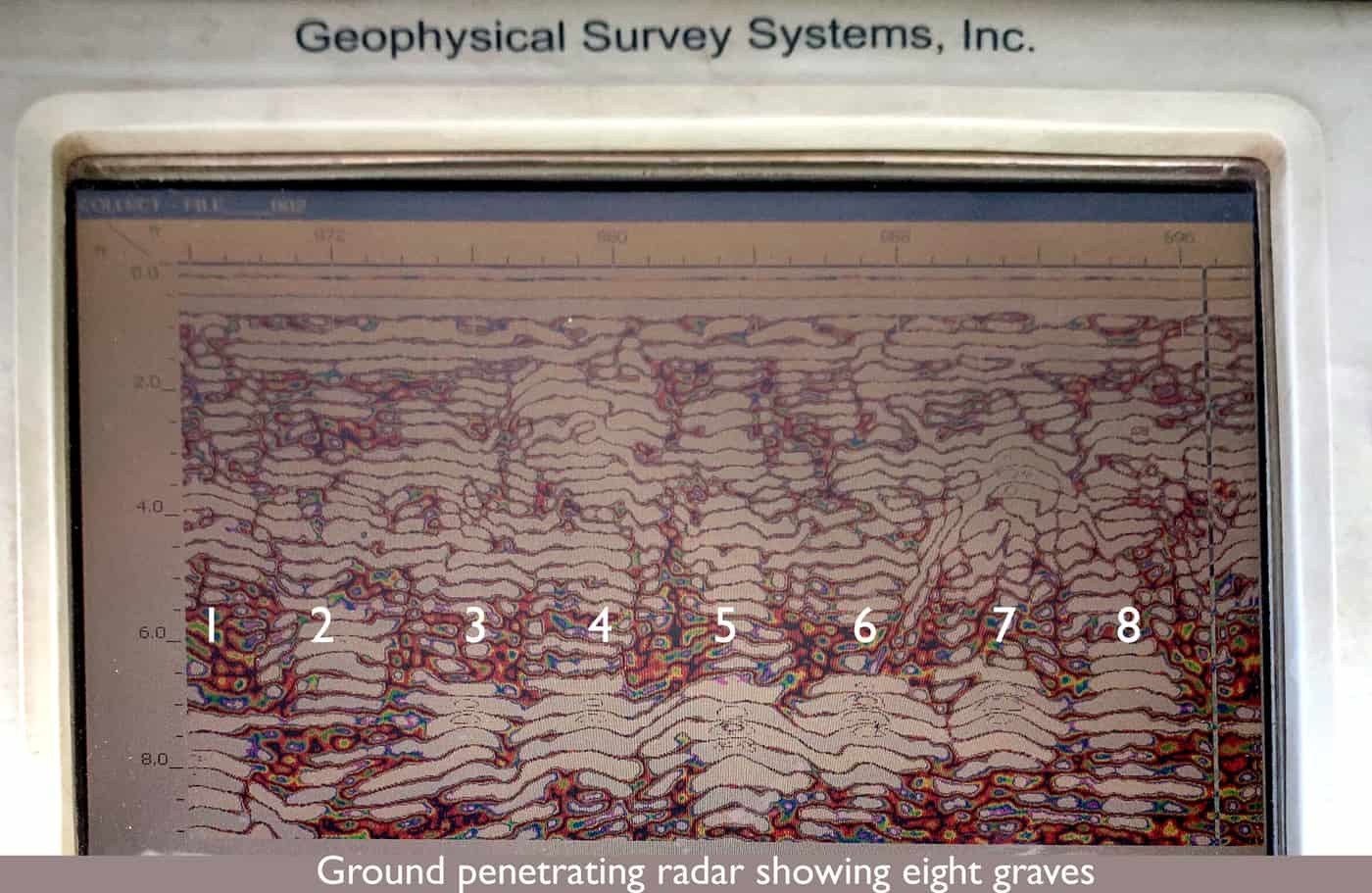
Radar screen showing grave sites

Unmarked graves found by using ground penetrating radar